
Featured tools
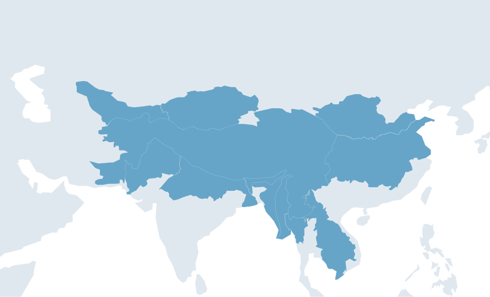
About ICIMOD , a regional intergovernmental organization, serves the eight countries of the Hindu Kush Himalaya (HKH) – Afghanistan, Bangladesh, Bhutan, Chin ...

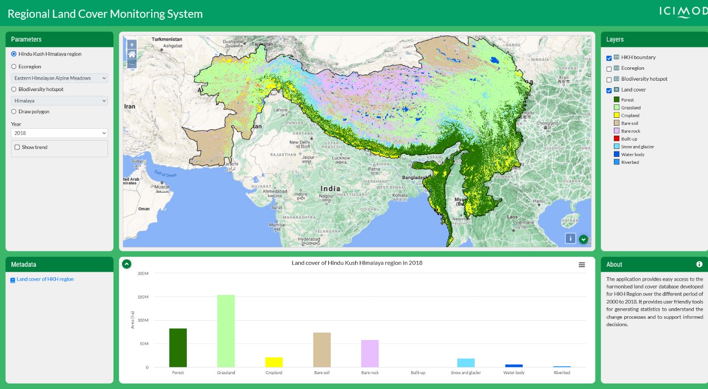
About The Regional Land Cover Monitoring System (RLCMS) for the Hindu Kush Himalaya (HKH) region is an operational service that provides annual land cover mapping and c ...
Regions:
Nepal, Afghanistan, Regional, Bangladesh, Myanmar
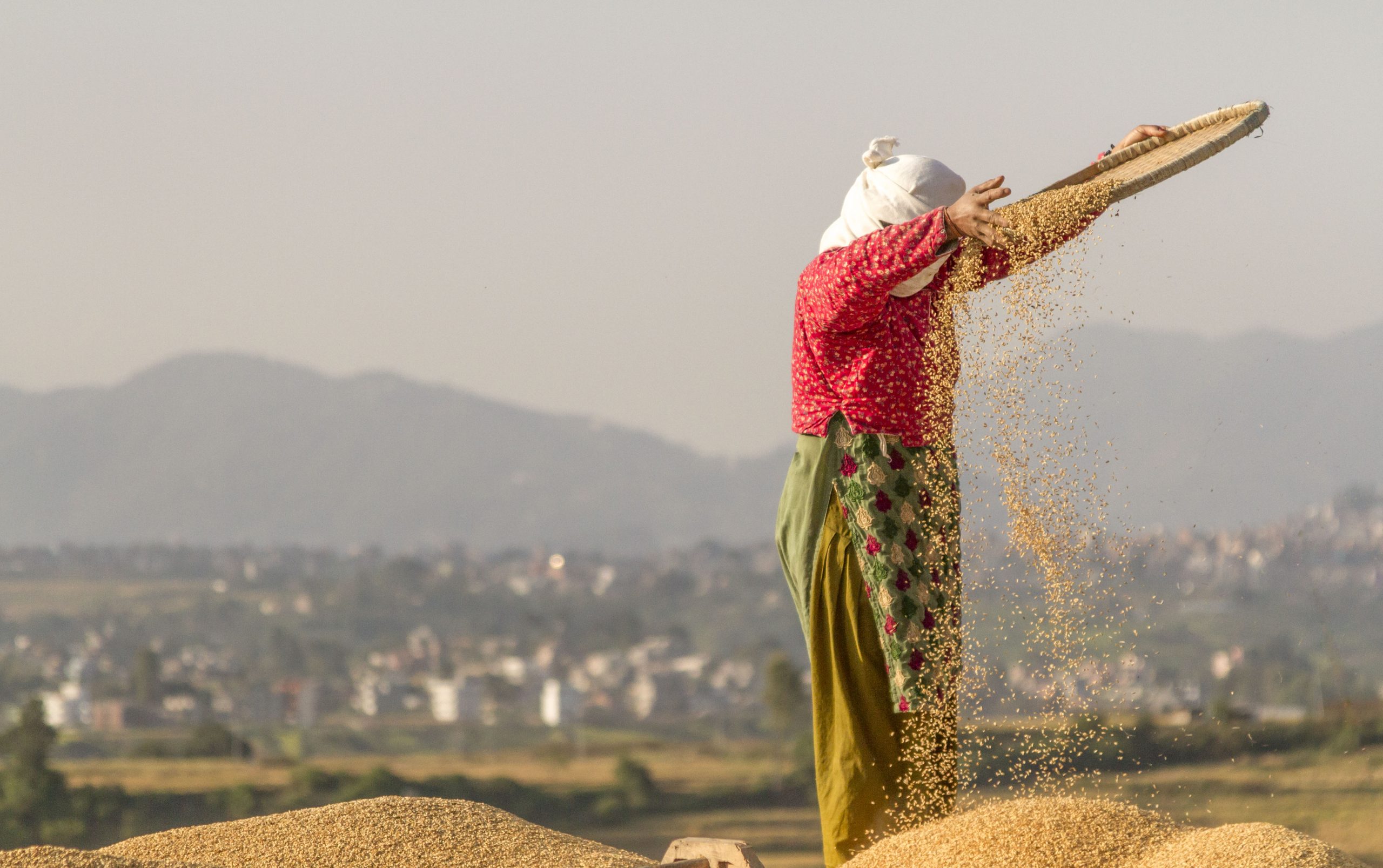
About –ICIMOD is developing an integrated information platform linking weather and climate data with agriculture practices in the region. The platform provides data a ...
Regions:
Nepal
About Disaster Information Management System has spatial profiling of historical disaster events and impact records that can be used to draw policy relevant information ...
Regions:
Nepal
About Disaster loss data are helpful in understanding the cost and impact of disaster events, and thus helps make informed policy decision to formulate and implement ef ...
Regions:
Nepal
About The High-Impact Weather Assessment Toolkit (HIWAT) for Bangladesh uses a mesoscale numerical weather prediction model and the Global Precipitation Measurement (GP ...
Regions:
Bangladesh

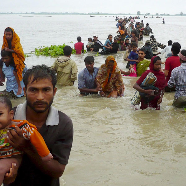
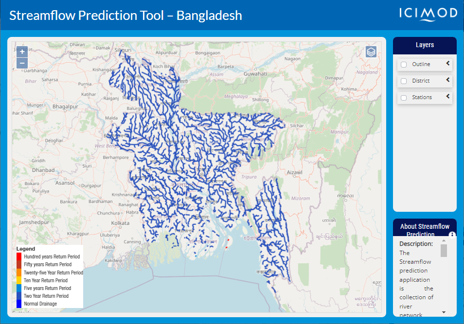
About The Streamflow Prediction Tool for Bangladesh provides 10-day forecasts for major river systems in Bangladesh. The Flood Forecasting and Warning Center (FFWC) use ...
Regions:
Bangladesh
About Forest fire is a big concern in many countries including Bhutan due to its adverse ecological and economic effects. A need for reliable and time effective informa ...
Regions:
Bhutan

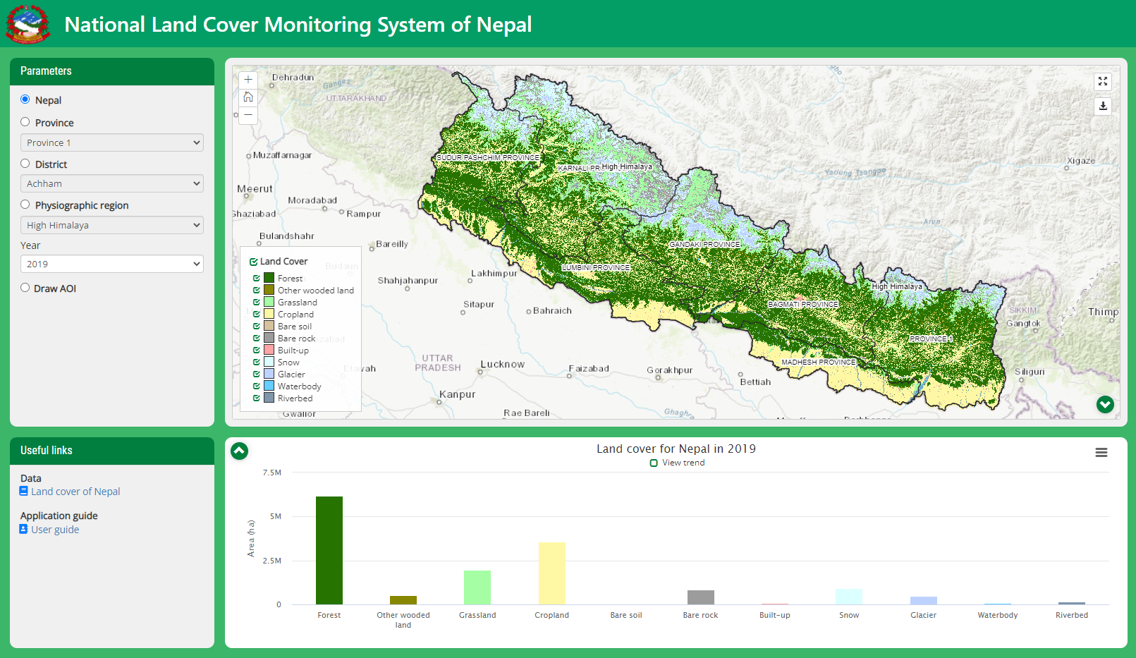
About Nepal’s National Land Cover Monitoring System (NLCMS) was developed by the Forest Research and Training Centre (FRTC) with technical support from SERVIR-HKH, a ...
Regions:
Nepal
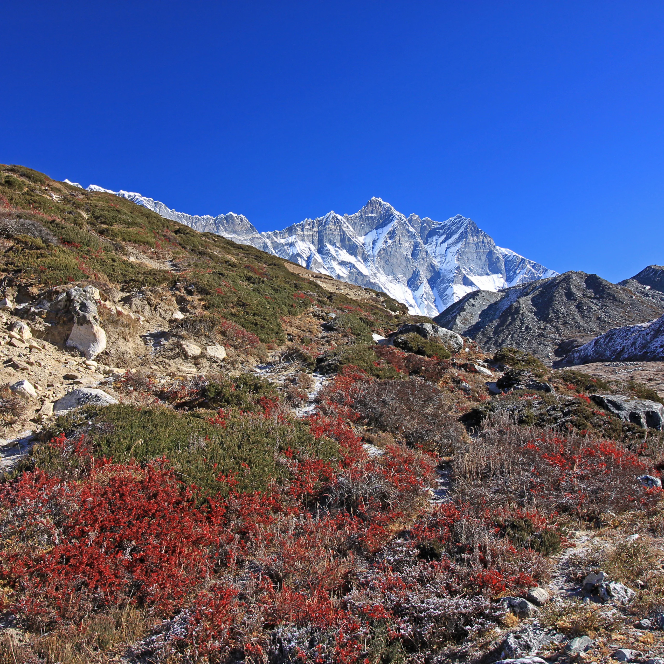
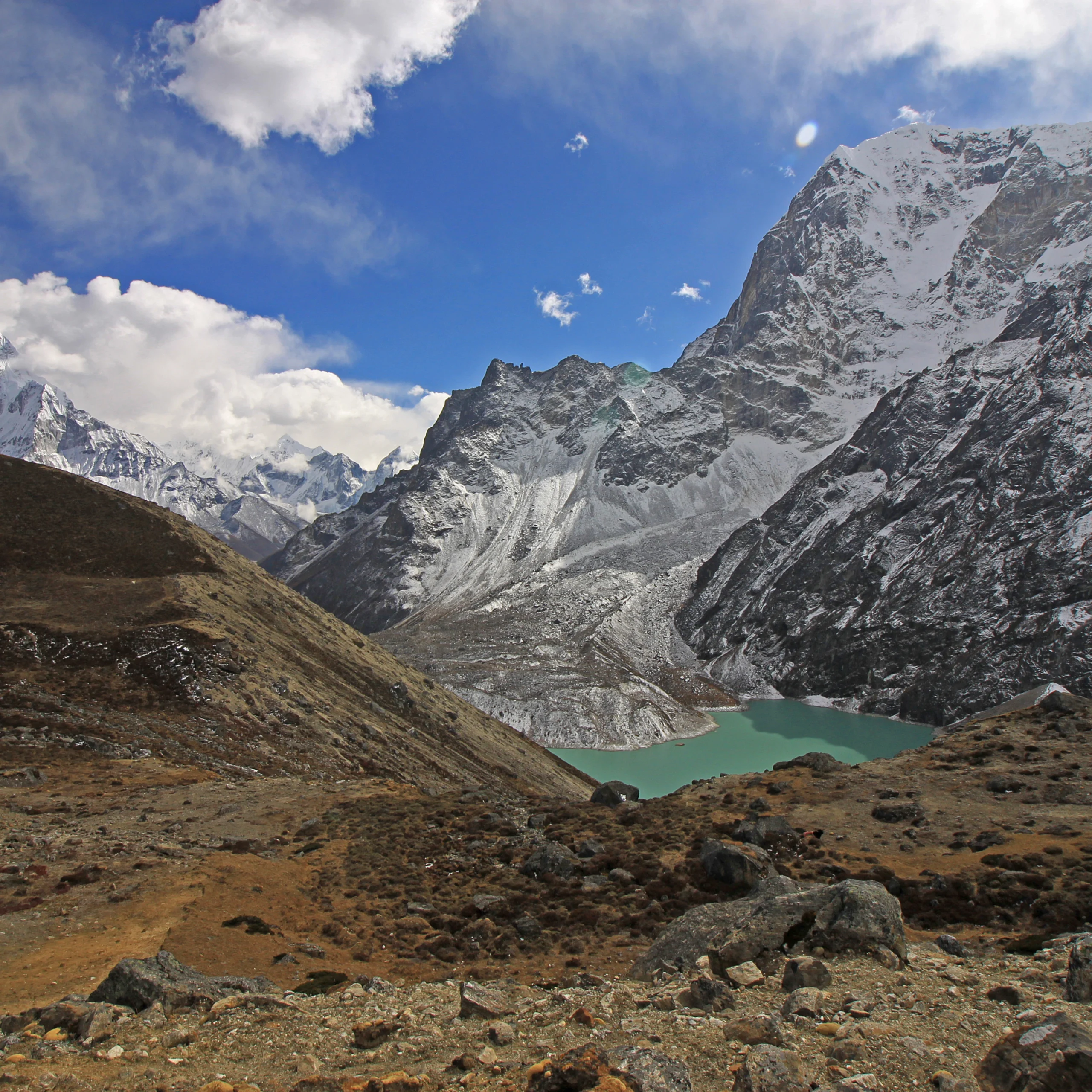
About Glaciers are repositories of information for climate change studies as they are sensitive to changes in temperature, precipitation, and at-surface solar radiation ...
Regions:
Nepal

Our service areas
Our demand-driven geospatial services use Earth observations and climate data to support decision making and climate resilient development.